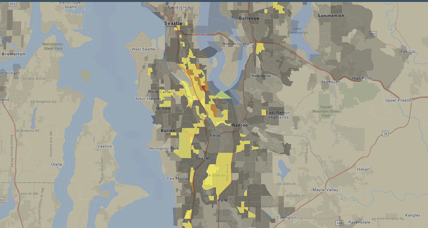
EPA released an update of EJSCREEN, the Agency’s publicly available award-winning environmental justice screening and mapping tool. EJSCREEN uses high-resolution maps and a methodology for combining datasets to identify environmental burdens on vulnerable populations.
This update is an important refresh of the environmental and demographic data contained in EJSCREEN and enhances the tool by adding new and improved functionality. An exciting new feature of the update is the addition of climate change indicators. Users can now add flood and sea-level rise data for the first time. EPA will continue to expand the climate change indicators in upcoming updates. EPA’s Risk-Screening Environmental Indicators (RSEI) data is also now an available map layer.
Along with the update, EPA is using a variety of methods to support community use of EJSCREEN. Funding has been made available to support states who have questions about using EJSCREEN data or are interested in building out a localized version of the EJSCREEN tool. Also, EPA will hold multiple trainings on EJSCREEN throughout 2021 to demonstrate its uses and to gain feedback on potential new applications for the tool.
For more information and resources please visit our Municipal Environmental Justice page.